The 7 seas
|
NEWS
Source: listas.20minutos.es
The comparative definition of the sea as "saltwater extension smaller than the ocean" establishes a classification of the saltwater extensions in which the oceans would be the largest extensions and would then come, of different sizes, the seas. The seas differ mainly by contact with the ocean, being able to be open or closed: if it is almost completely surrounded by land, such as the Black Sea, there is talk of the continental sea, while if it is very open, such as the China Sea , it speaks of the coastal sea
TOP 7:
Indian Sea
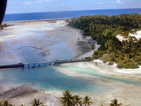
The Indian Ocean is the third largest volume of water in the world, and covers approximately 20% of the Earth's surface. It is limited to the north by South Asia; to the west by the Arabian peninsula and Africa; to the east by the Malaya peninsula, the Sonda islands, and Australia; and south by Antarctica. It is separated from the Atlantic Ocean by the meridian 20 degrees east, south of Africa, and from the Pacific Ocean by the meridian 147 degrees east. The northernmost point of the Indian Ocean is approximately 30 degrees north of latitude in the Persian Gulf. The ocean is approximately 10,000 km wide between the southern tips of Africa and Australia; Its area is 73,556,000 km², including the Red Sea and the Persian Gulf. The volume of the ocean is estimated at 292,131,000 km³. [1] Small islands dot the continental edges. The nations of the ocean are Madagascar (the fourth largest island in the world), Comoros, Seychelles, Maldives, Mauritius, and Sri Lanka; Indonesia borders it. The importance of the ocean as a transit route between Asia and Africa has made it a focus of conflicts. In any case, no nation has successfully dominated it until the beginning of the 19th century when England controlled most of the perimeter land
TOP 6:
Black Sea
The Black Sea was a busy waterway at the crossroads of the ancient world: the Balkans to the west, the Eurasian steppes of the north, the Caucasus and Central Asia to the East, Asia Minor to the south, and Greece to the southwest. The oldest gold processing in the world was found in Varna, and the Black Sea was supposedly sailed by the Argonauts. The land at the eastern end of the Black Sea, Colchis, (now Georgia), marked for the Greeks an edge of the known world. The steppes north of the Black Sea have been suggested as the land of origin (Urheimat) of the speakers of the Indo-European Proto-language, (PIE), the progenitor of the Indo-European language family, by some scholars believe that the origin of the Indo-Europeans is in the Caucasus or Anatolia. Numerous ports on the former Black Sea coast line have been found, some even older than the Egyptian pyramids. Old trade routes in the region are being widely studied. The general opinion is that the Black Sea is full of important archaeological finds. Perhaps the most promising areas in deepwater archeology are the search for prehistoric settlements submerged on the continental shelf and ancient shipwrecks in the anoxic zone, which are expected to be exceptionally well preserved due to the absence of oxygen.
TOP 5:
Baltic Sea
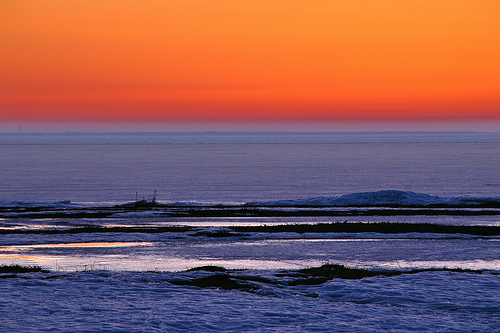
Its surface is 432,800 km² and includes two large gulfs: the Gulf of Finland, between the south of this country and Estonia, and the Gulf of Botnia, between the east coast of Sweden and the west of Finland. Geologically it is very young: it only exists since the 6th millennium BC. It is very shallow (the average is 57 m; the maximum depth is 459 m north of the Swedish island of Gotland), which, together with the little opening to the ocean, makes the water renewal very slow and favors Pollution problems The tides are of very small amplitude. The Baltic Sea is also the largest amber deposit in the world, and in addition its quality is one of the best (of the twenty deposits in the world that there are amber, it is said that the amber of the Baltic Sea is only surpassed by those of Mexico and the Dominican Republic, and it is also the one that produces the most conifer amber, and also the best quality, from which 500 to 800 million tons of amber are extracted.The Baltic salinity is very low compared to that of other seas or oceans; it can be considered intermediate between fresh and salt water.This fact is explained by its high latitude (it experiences little evaporation), combined with a large contribution of fresh water by many rivers that, because of the aforementioned The narrowness of its communication with the ocean is very difficult to evacuate and renew with salt water.This low salinity has strong biological implications, with many different species of its counterparts in other seas.The basin that drains The Baltic Sea encompasses all of some coastal countries such as the Baltic Republics, Poland and the Russian Kaliningrad region. In addition, these rivers are born in, or cross territories belonging to other countries that, despite not having coasts, communicate to the sea by river. Such is the case of the Czech Republic, Slovakia, Ukraine and Belarus, who end up providing water (indirectly) to the Baltic Sea.
TOP 4:
Arctic Sea
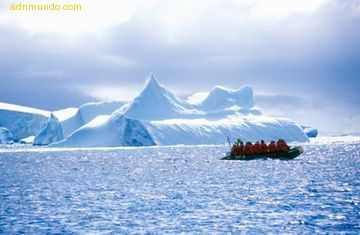
According to studies conducted by specialists from the University of Oxford (United Kingdom) and the Royal Netherlands Institute for Marine Research, the Arctic Ocean enjoyed, about seventy million years ago, temperatures similar to those found today in the Sea Mediterranean, with measurements of about 15 ° C; and temperatures of about 20 ° C about twenty million years ago. The researchers came to this conclusion after studying organic materials found in the mud of ice islets in the Arctic Ocean. It is not known yet because these temperatures occurred in those times, but it is believed that the responsible may have been the greenhouse effect derived from a strong concentration of carbon dioxide in the atmosphere (the problem of this hypothesis is the extraordinarily minimal greenhouse effect of carbonic gas).
TOP 3:
Atlantic sea
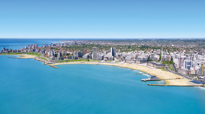
It has a shape of that and an area close to 106.4 million km2, being the second largest, after the Pacific Ocean, and covers approximately 20% of the Earth's surface. Its volume of water is 354.7 million km3 if adjacent seas are counted, or 323.6 if they are not counted. The width of the Atlantic varies from 2,848 km, between Brazil and Liberia, to 4,830 km between the United States and North Africa. Underwater mountain ranges located between the Island of Baffin, Greenland and Scotland have been established, conventionally, as the boundary between the Arctic Ocean and the North Atlantic. To the east, the Strait of Gibraltar forms the border with the Mediterranean Sea; To the west, the arch formed by the Caribbean islands separates it from the Caribbean Sea. To the west there is an artificial connection between the Atlantic and the Pacific through the Panama Canal. To the southeast, the separation with the Indian Ocean is established, in a conventional way, by the 20 ° E meridian. To the southwest the divide has been established on the deepest line that goes from Cape Horn to the Antarctic Peninsula, in the Drake step. It has an average depth of 3,900 m, which is obtained thanks to a large plateau close to 3,000 m deep that constitutes almost all of its bottom, together with the large depressions that are at the edges of it and that exceed 9,000 m near Puerto Rico. Despite this, its number of islands is relatively small. The salinity of the Atlantic Ocean is about 36 grams of salt per liter of water and the most fished species are sardines, herring and cod. In addition, it is the most important ocean on Earth from a commercial point of view.
TOP 2:
Mediterranean Sea
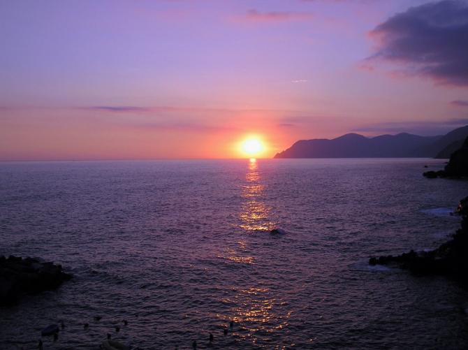
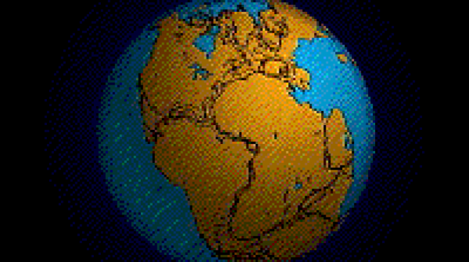
The Mediterranean Sea formed from the primitive sea of Tethys, much more extensive than the Mediterranean, and was decreasing as the African plate approached the Eurasian. [10] About 60 million years ago, at the beginning of the Tertiary, the Tethys Sea, the predecessor of the Mediterranean, flooded much of North Africa and Europe, which at that time was nothing more than an archipelago of islands. [11] During the Tertiary, the Tethys Sea narrowed in the east until a large sea basin formed almost separated from the open ocean. This basin covered the Mediterranean, the Black Sea and the Caspian Sea in the same body of water. But in the west the Mare Nostrum was still connected to the open sea through surfaces nowadays emerging from the south of the Iberian Peninsula and northern Morocco. [11] One 6 or 5 million years ago, the Mediterranean suffered continuous drying due to an unstable connection with the Atlantic Ocean. This phenomenon had a strong impact on seawater salinity. [11] In the future (about 5 million years) the Strait of Gibraltar will close and the Mediterranean will be reduced to a few hypersaline lakes. It is known from the saline deposits at the bottom of the sea that this already happened a few million years ago. Then the difference in level between the Atlantic and the Mediterranean caused the breakage of the rock dam that had formed in the Strait. What had taken hundreds of years to dry was filled in 40 years through a huge waterfall. If the Strait of Gibraltar were closed, the Mediterranean would dry out because this is a sea in which more water evaporates than enters the rivers, causing a higher salinity than in the Atlantic, ocean from which it receives the water it loses Due to evaporation. Temperatures in places near the Mediterranean are pleasant, since in summer its coasts are cooler and in winter they keep temperatures somewhat higher than in the interior of the continent
TOP 1:
Pacific Ocean
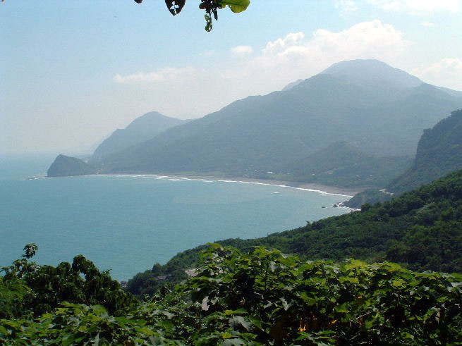
The Andesita Line is the most significant regional distinction in the Pacific. It separates the deepest part, of basic igneous rocks, from the partially submerged continental areas of acidic igneous rocks from the margins. The Andesite line follows the western boundary of the California islands and passes south of the Aleutian Islands, along the eastern boundary of the Kamchatka Peninsula, the Kuril Islands, Japan, the Marianas, the Solomon and New Zealand. The discontinuity continues northeast along the west end of the Albatross mountain range throughout South America to Mexico, returning to the islands of California. Indonesia, the Philippines, Japan, New Guinea, and New Zealand are extensions east of the continental blocks of Australia and Asia and are outside the Andesite line. In the closed circle of the Andesite line are the majority of deep trenches, submerged volcanic mountains, and oceanic volcanic islands that characterize the Central Pacific basin. This is where basaltic lavas flow slowly to form large dome-shaped volcanic mountains, the eroded tops of which form island arches, chains, and archipelagos. Outside the Andesite line, volcanism is explosive, and the so-called Pacific ring of fire is the most volcanic area on the planet.

